
How to Build a Field Photo Report That Holds Up in a Claim
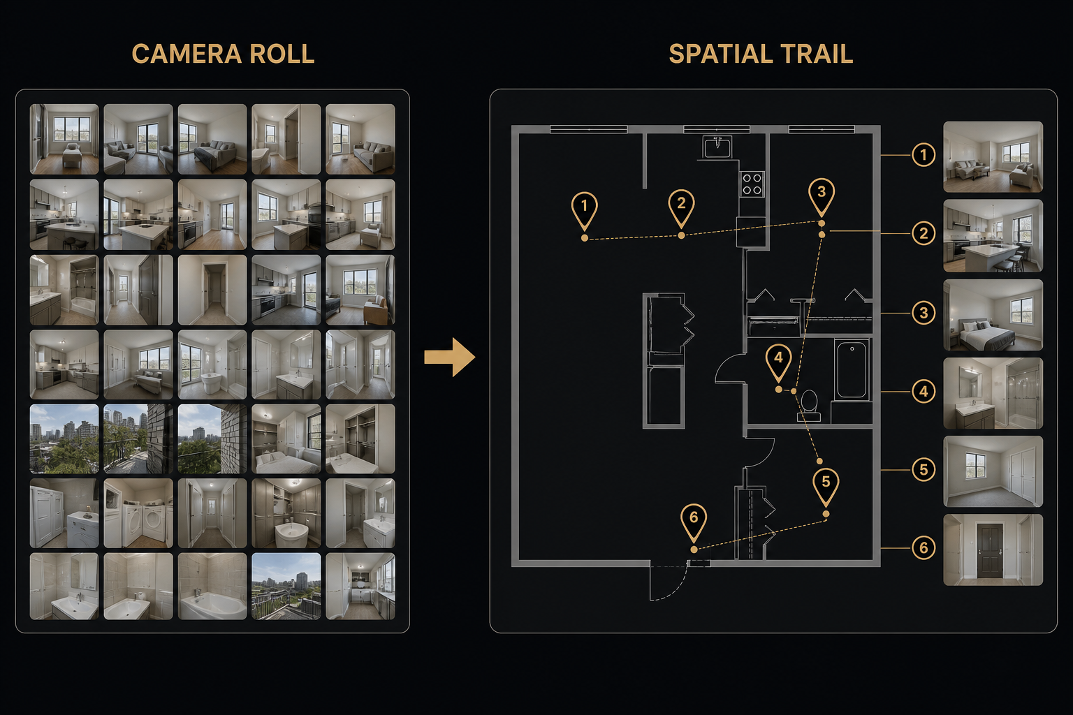
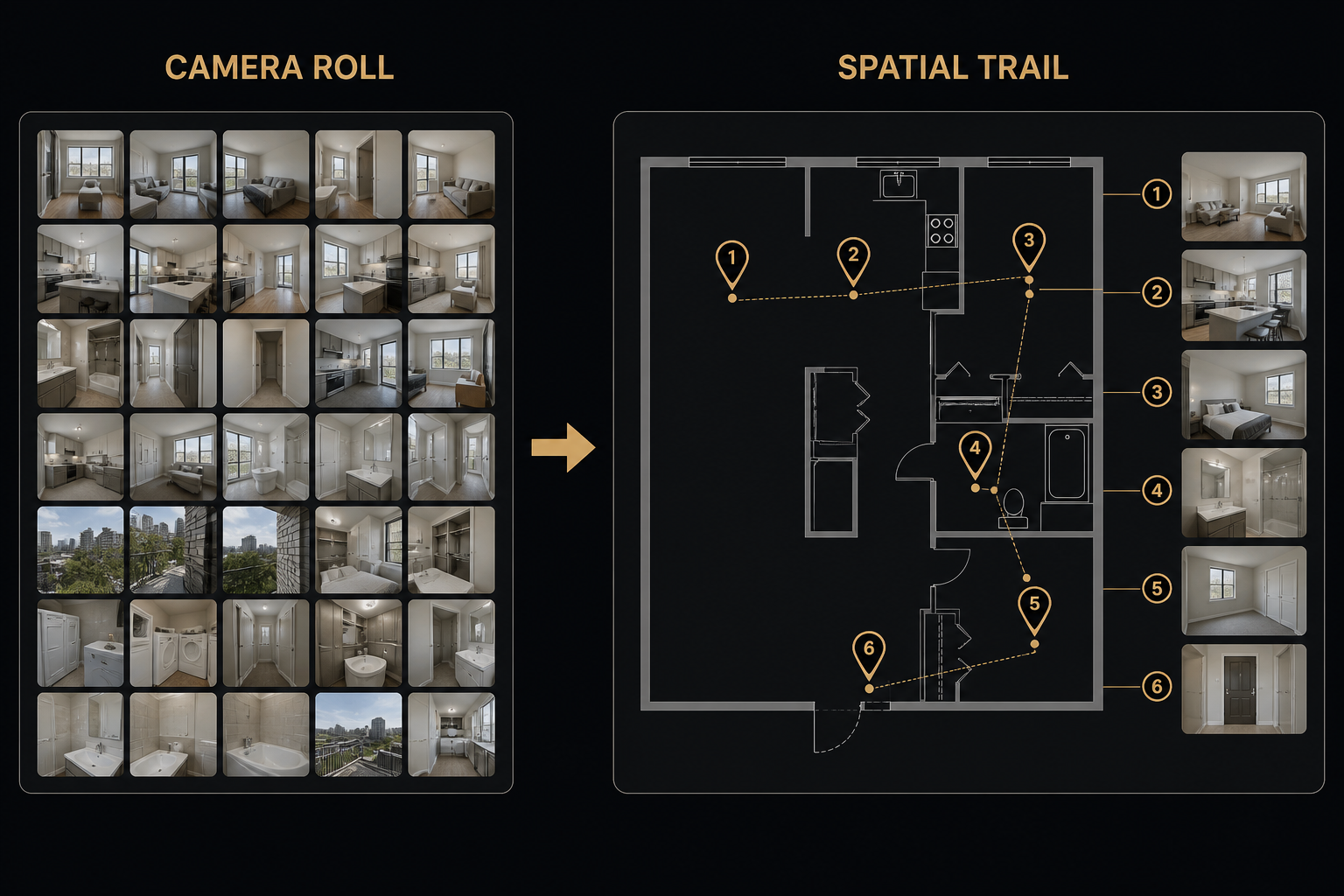
Camera-roll folders fail when a claim gets reviewed. Adjusters and carriers do not want two hundred unlabeled JPEGs — they want a field photo report that shows where each image was taken and what it documents.
What makes a photo report defensible
- A plan reference — Floor plan, roof plan, or site map as the backbone
- Locations — Rooms, zones, or elevations marked clearly
- Evidence at each point — Photos, PDFs (moisture logs, invoices), and short notes
- A single export — One PDF clients and adjusters can open without reconstructing your folder structure
Without those pieces, you are doing site documentation theater: lots of photos, little spatial context.
Why camera rolls fail adjusters
- Captions like "kitchen" without a plan leave rooms ambiguous across floors
- Order of photos rarely matches the path of the loss or the scope
- Supporting PDFs live in email while photos live in Drive — the claim file stays fragmented
A practical workflow
- Upload the property plan before you leave the site (or as soon as you have it).
- Drop waypoints where damage, drying equipment, or work actually sits.
- Attach photos and notes at each waypoint while you still remember the context.
- Export a PDF photo report with the spatial trail intact.
Try it with FotoLedger
FotoLedger is a free photo report app for this exact workflow — pin field photos to the plan and export client-ready PDF site documentation for restoration and insurance claims.
See all BetterHolmes solutions or get in touch if you want help standardizing documentation across your crews.